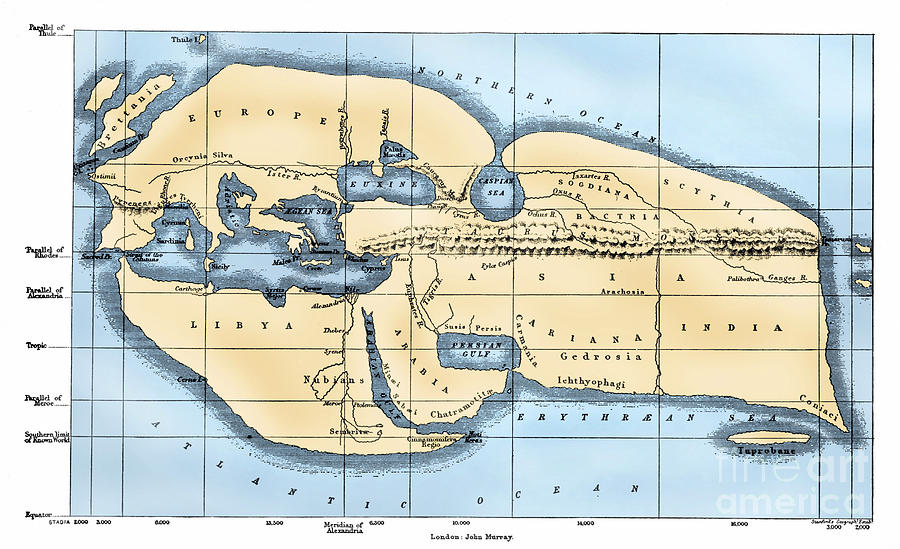
Maps serve two purposes; one being a reference tool to identify an object's absolute and relative location. The second one being a communication tool to convey the distribution of human activities or physical features. Now, back to absolute and relative location. Absolute location is a position as expressed in degrees, minutes, and seconds of latitude and longitude. Relative location is a regional position or situation of a place relative to the position of other place. Absolute location uses latitude and longitude, which we learned next. Latitude is a geographic coordinate that specifies north-south position of a point on the Earth's surface. All lines of latitude are parallel and never touch each other; they also get shorter towards the poles and the Equator is the largest line. We lightly touched on longitude, but I will save that for tomorrow's blog.

No comments:
Post a Comment